Mara Werner · 10 September 2026
Seasonal Shifts in Marine Currents Shape Surfing Routes Across Remote Fjord Systems
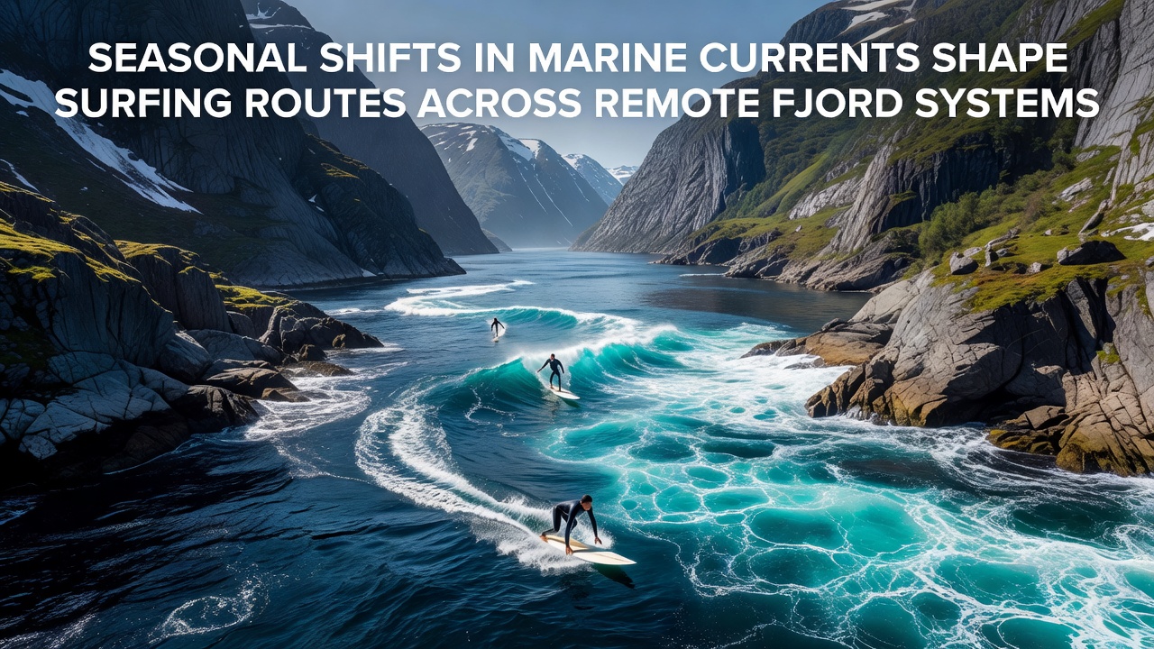
Seasonal variations in marine currents directly influence wave patterns and accessible surfing routes through remote fjord systems where tidal forces interact with freshwater inflows from glaciers and rivers; researchers tracking these dynamics note that temperature gradients between surface and deeper layers accelerate or redirect flows during transitional months while wind-driven surface currents add complexity to navigation for those exploring isolated inlets.
Core Mechanisms Behind Current Shifts
Data from oceanographic monitoring stations reveal that winter months strengthen northerly flows in northern hemisphere fjords because colder air masses increase density differences and pull colder Atlantic water inward whereas summer stratification layers the water column and slows surface movement allowing warmer coastal streams to dominate route options for paddlers and riders alike. Observers note that these patterns repeat with high consistency across multiple seasons and locations yet local bathymetry creates unique deviations that demand real-time adjustments.
Regional Examples from Documented Studies
In Norwegian fjords such as those near Tromsø measurements collected over successive years show September transitions bring a measurable uptick in cross-channel currents reaching speeds that reroute optimal takeoff zones by several hundred meters; similar observations from Patagonian systems indicate comparable reversals tied to Andean snowmelt peaks that coincide with spring in the southern hemisphere. Take one research team that mapped current vectors in Sognefjord and found that peak freshwater discharge in late spring reduces wave height consistency forcing surfers to seek alternate channels further from the mouth.
Figures compiled by international marine research networks confirm that wind stress during autumn equinox periods amplifies these effects across both hemispheres creating temporary corridors where previously sheltered bays receive refracted swell energy; those who study these interactions emphasize that bathymetric charts alone cannot predict daily changes and require integration with satellite altimetry for accurate forecasting.
Practical Effects on Surfing Routes
Remote fjord surfers rely on updated current models because a shift of even one knot can close off previously reliable passages through narrow straits while opening new ones along steep walls where reflected waves form; studies from the Norwegian Meteorological Institute document how September 2026 data sets captured an unusually rapid reversal in the Hardangerfjord system that redirected several documented routes by over 1.5 kilometers within a single week. Such events highlight why operators of expedition vessels now incorporate real-time buoy data into planning software.
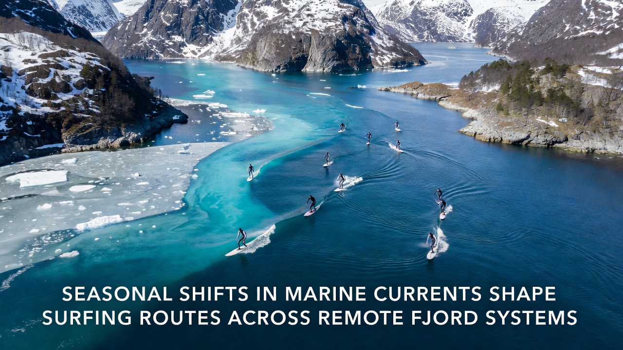
Canadian fjord systems along the British Columbia coast exhibit parallel behavior according to Fisheries and Oceans Canada reports where glacial melt pulses in early summer create opposing surface and subsurface flows that split wave trains into distinct zones; paddlers who time their entries with these pulses gain access to protected inner basins whereas mistimed attempts encounter strong sets that push craft toward exposed headlands.
Data Integration and Forecasting Tools
Academic teams at institutions including the University of Bergen combine acoustic Doppler current profiler readings with meteorological forecasts to produce seasonal route maps that update weekly during transition periods; these tools allow expedition planners to identify windows when current vectors align with incoming swell directions thereby extending viable surf sessions in otherwise inaccessible inlets. Evidence suggests that integration of such models reduces transit times and fuel consumption for support vessels operating in these remote areas.
What's interesting is how September data points from multiple years cluster around predictable thresholds where current speed exceeds 0.8 meters per second and forces route modifications; analysts cross-reference these thresholds with wave buoy records to generate probability matrices that operators consult before committing to multi-day traverses through complex fjord networks.
Conclusion
Seasonal marine current shifts continue to define viable surfing corridors across remote fjord systems through well-documented interactions between temperature gradients, freshwater inputs, and wind forcing; ongoing monitoring programs from agencies across the northern and southern hemispheres supply the raw measurements that allow precise route adjustments. Continued collection of high-resolution data through 2026 and beyond will refine these predictive frameworks further while maintaining focus on objective environmental variables that govern access and safety in these dynamic coastal environments.